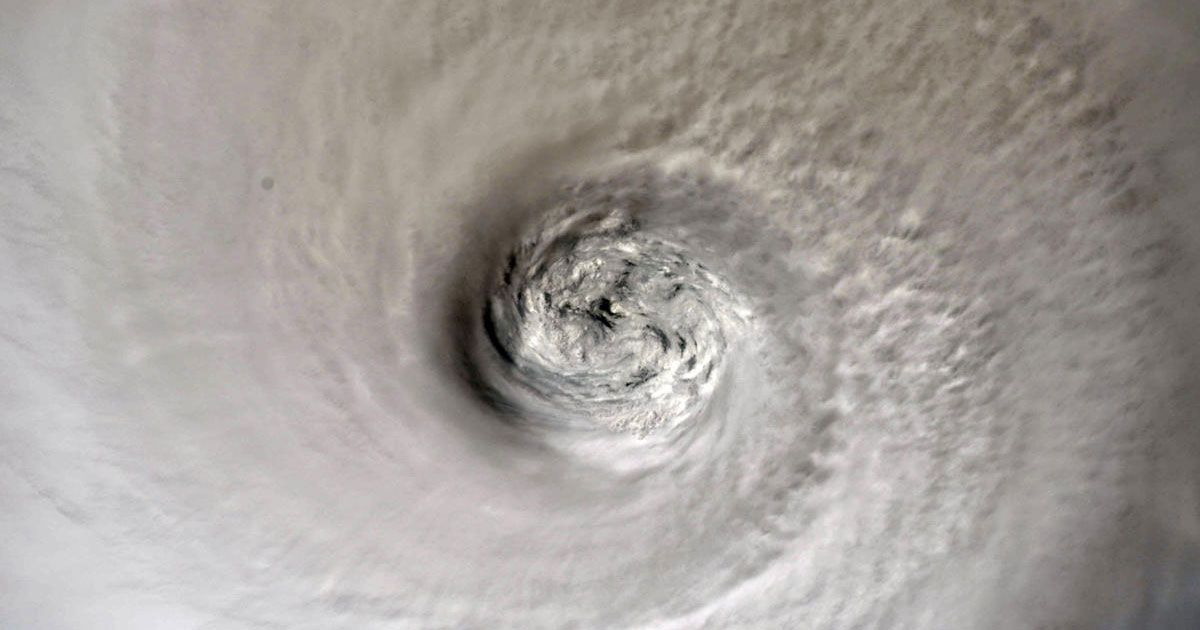
Hurricane Dorian caused flooding and strong winds along the southeast coast of the United States before turning towards the Atlantic. Its current track reveals the storm is approaching Canada’s Nova Scotia, next.
Hurricane Dorian is predicted to remain a Category 1 hurricane as it continues moving with slow pace northward off the US east coast on Saturday.
Late Friday night, the US National Hurricane Center (NHC) announced that Dorian is heading for Nova Scotia “in a hurry,” with hurricane-driven strong winds expected on the Canadian coastal province by Saturday evening.
Here are the #Dorian Key Messages for the Sep 6, 5 pm advisory. Tropical Storm Conditions Expected to Continue for Portions of Coastal Virginia and Maryland into this Evening. More: https://t.co/tW4KeFW0gB or your local weather at https://t.co/SiZo8ohZMN pic.twitter.com/lqhjdZq6D6
— National Hurricane Center (@NHC_Atlantic) September 6, 2019
Coastal regions of northeastern Canada are under a tropical storm warning, meaning they should expect storm conditions, including heavy wind and rain, within 12 hours. Prince Edward Island and the Magdalen Islands put under a hurricane watch where hurricane conditions are certain.
The eye of Hurricane Dorian recently made a brief landfall for the first time in the United States near Cape Hatteras, North Carolina, on Friday, flushing the low-lying Outer Banks islands with devastating winds and flooding before heading back out to sea.
On Friday, hundreds of people on the islands were stuck in houses after severe flooding, and neighbors rescued each other using boats.
After causing catastrophic damage to the Bahamas as a Category 5 hurricane, Dorian reduced back to a Category 1 storm with maximum sustained winds of 90 miles per hour (150 kilometers per hour).
Dorian triggered tornadoes and caused flooding Wednesday and Thursday as it moved with slow pace up the coastline of South and North Carolina.


Leave a Reply