There was time as Drone was considered as a fiction idea. Today, you can easily find various drones available in the market, and everybody can have it. Drone is actually multipurpose including for education, business, entertainment, and military purpose. The drone is considered to improve many aspects of human life in the future. Non-military drone is now widely available and able to do some tasks and functions that help your activities.
Air Observation
Now, you easily observe anything from the air using the drone. It can be used in the factory, supermarket, mining, forest, and other landscape. This will certainly lower the risk of people in doing their observation or inspection job especially when it requires you to disclose dangerous areas or things. It can reach places with low accessibility like virgin forest or cliffs without risking any life of human workers.
Photography
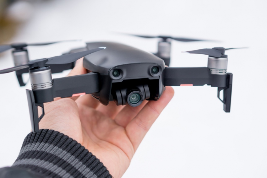
There was a time aerial photo shoot or video shoot involves a cameraman and chopper to capture the landscape or object from the sky. Now drone with camera completes this task very well. Drone is also rapidly developed as now you can capture aerial photos and videos in full High Definition graphics. This will help the photography, video maker, or film industry save more money.
Shipping
Huge Business and Delivery Companies like UPS, DHL, Amazon have considered using the drone to deliver and ship small packages including drugs, documents, meal, and so forth. This should inspire you to do the same to support your business. If you have a restaurant, you can provide drone delivery services near your location.
Human Life Support
Drone with a night vision and quality camera can be used for searching the lost people and determine the location even though it’s dark and remote. Drones are very useful for search and rescue, especially in harsh condition. Unlike, the conventional searching, Drone can easily deploy and spread to the location and increase the survivor potentials. The drone can be the police best friend in tracking and surveillance of crimes around the city.
Geographic Mapping
As mentioned previously, Drones can reach places or spots with a very low accessibility including forests, mountains, coasts, deserts, canyons, and so forth. It allows you to create a geographic mapping based on the high-resolution pictures and data provided by the drone. Unlike the conventional survey, drones don’t involve high accommodation and complicated methods, you can save budget, time, and energy by relying the mapping on the drone.